What is (HAPS) High-Altitude Pseudo-Satellite?
- 06 Apr 2024
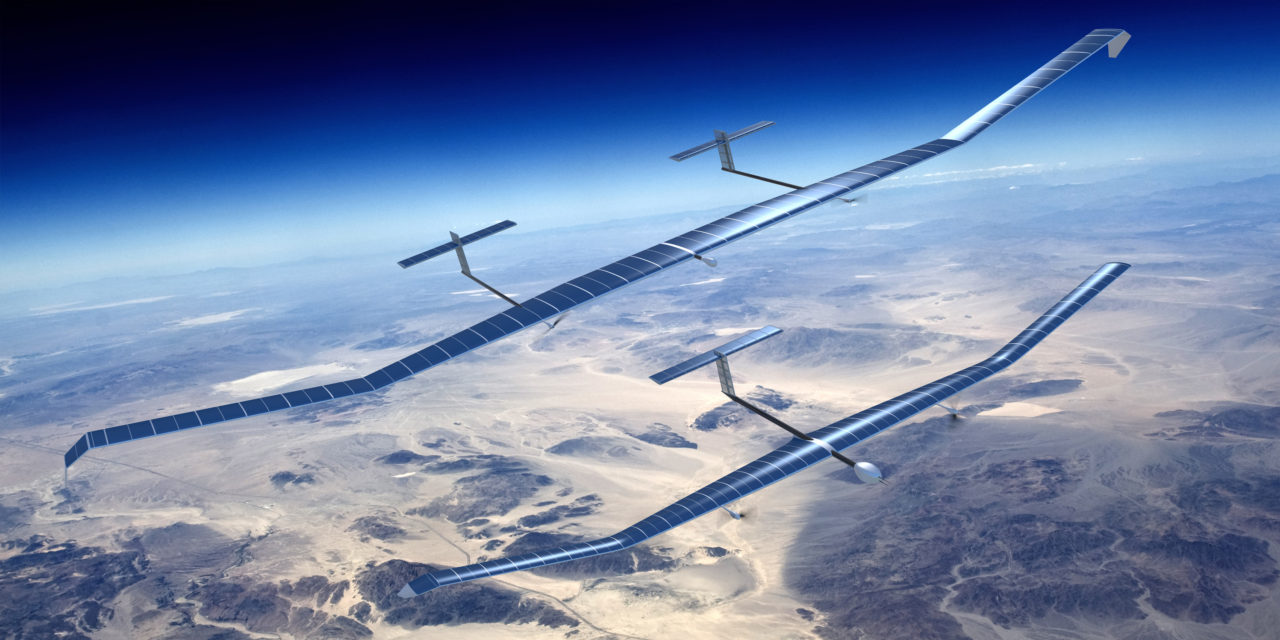
The High Altitude Pseudo-Satellite (HAPS) is a solar-powered unmanned aerial vehicle (UAV). They were conceptualized to operate in the stratosphere about 20 kilometres above ground.
These do not require a rocket to launch. They are powered by solar energy and rechargeable batteries.
The full-scale version is designed to feature a wingspan of approximately 30 meters and a weight of 150 kg. It will operate as a slow-flying aircraft, maintaining speeds between 80-100 km per hour.
Despite its modest pace, it will have the capability to remain airborne for up to 90 days, cruising at altitudes ranging from 17-20 km. Additionally, it will have the capacity to carry payloads of up to 15 kg.
Why are they called pseudo-satellites?
HAPS are called pseudo-satellites because they can conduct the operations of a satellite. However, unlike a satellite which has a predetermined path, HAPS can be easily moved to a location. The costs of building, launching and operating a single HAPS are comparatively lower than satellites.
HAPS also enable coverage of very large areas (around 500 km diameter). They can also be linked to multiple ground stations simultaneously. Since they operate closer to the ground, they allow greater two-way transmission speeds and lower latency. Furthermore, HAPS can undergo refurbishment and reutilization, with their payloads reconfigured periodically.
What is the need for such UAVs?
Recently, in a groundbreaking advancement in aerospace technology, Scientists at the CSIR – National Aerospace Laboratories (NAL) conducted successful tests on a High Altitude Pseudo-Satellite (HAPS) at the aeronautical test range at Challakere, Karnataka, marking a significant milestone in the field of unmanned aerial vehicles (UAVs).
This development not only highlights India’s growing capabilities in high-altitude aerospace technology but also sets the stage for innovative applications across telecommunications, environmental monitoring, disaster management, and beyond.


